This project has received funding from the European Union Framework Program for Research and Innovation (SC5-18a-2014) under grant agreement nº 641538
Cooperation with standardization organizations:
![]()
_________________________________________________________________________________
GeoViQua contribution to OWS-9 is structured in 4 main directions: OWS-Context (CCI); Data provenance (CCI); WMTS harmonization (OWSI); and Data quality in map services (OWSI).
OWS-Context (CCI) GeoViQUa will continue developing the integrated OWS client (WMS, WCS, WFS and WMTS) that incorporated WMTS OWS-6, by extending it to support the new version of OWS Context. It is a HTML+Javascript client, so it is the right environment to test Atom, JSON and HTML5 encodings. We also propose to test Atom in a desktop application solution developed in C. We propose to define encoding example files, test them in the client and report the lessons learned in an ER.
Data provenance (CCI) The integrated OWS client (WMS, WCS, WFS and WMTS) presents layers metadata as an HTML page that is a transformation of an ISO19139 XML file. We propose to enhance this transformation to present provenance information in a tree style that can link with the records of the previous datasets that were used to generate these ones. We also propose to explode id, href (and eventually the uuid uuidref) that can be used to reduce the length and redundancy of the provenance description by linking to the provenance of the source instead of repeating it.
WMTS harmonization (OWSI) In OWS-6 WMTS standard draft was tested and the lessons learned where incorporated in WMTS 1.0. Several implementations of different standards are still competing with WMTS. There are 2 different problems. On one hand we have standards that are similar but can not be directly supported by WMTS (such as TileCache that orders the J axes in the opposite direction; in fact TileCache can be configured to invert the J axe and generate compatible WMTS tile indices), we also have new approaches to store tiles directly in databases such as MBTiles and we have the mass market providers such Google and Bing tiles that are influencing OpenStreetMap to adopt the same tile pattern that actually is a WMTS RESTful pattern but they don't recognize it (they just lack a ServiceMetadata document!). A set of suggestions to harmonize the panorama has to be collected in an ER and some modification on WMTS can be requested to better support other implementations (such as supporting direct and reversed J ordering) in the change request form. Some of these changes can also be tested in a WMTS service and client.
Data quality in map services (OWSI) With the proliferation of WMS services the need to be able to choose between different products based on their quality metadata has increased. Also, each pixel in the data can have associated a different uncertainty. There is a need to have an ER that can eventually become a quality profile for WMS.
The release of a complete quality model. GeoViQua’s major conceptual contributions are its producer quality framework, based on existing metadata standards such as ISO 19115 and UncertML, and its innovative user feedback model for geospatial data. OGC has recently approved the creation of the Geospatial user feedback standards working group.

_________________________________________________________________________________
In AIP5 GEO Members and Participating Organizations are be able to:
- Participate in collaborative deployment of Societal Benefit Areas (SBA) scenarios developed by experts from relevant GEO SBA Tasks. The SBA scenarios guide AIP development, testing, demonstrations and operations.
- Deploy, register and test components and services; where those services are deployed consistent with the GEOSS AIP architecture based on Interoperability Arrangements; and,
- Refine the architecture including recommendations for GEOSS Interoperability Arrangements in coordination with the GEOSS Standards and Interoperability Forum (SIF)
AIP-5 places a priority on these areas:
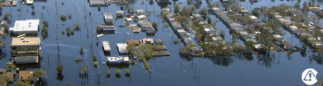
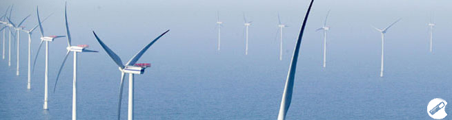
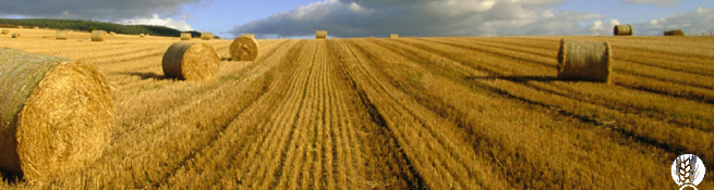
- Increase GEOSS capacity to support several SBAs: Disasters, Health, Energy, Water and Agriculture.
- User Management and Authentication to support GEOSS Data-CORE
- Research to be considered for the GEOSS Common Infrastructure (GCI)
The main contributions of GeoViQua to AIP5 are the continuation on supporting the Standards and Interoperability Forum in the tutorial coordination, the participation on the preparation of the call for participation, the chairing of the Universal and Unique Identifiers activity (lead by CREAF partner in connection to GeoViQua Task 6.1), the chairing of the EuroGEOSS broker activity (lead by CNR partner in connection to GeoViQua workpackage WP4) and the contribution to the Agriculture and Air Quality SBA (lead by UAB partner in connection to GeoViQua workpackage WP7). Additionally, GeoViQua is providing the ConnectinGEO Twiki to support AIP5 activities in general.
 __________________________________________________________________________________
GeoViQua and CEN (European Committee for Standardization) signed a Memorandum of Understanding.
GeoViQua has recently applied for “project liaison” with CEN/TC 287 "Geographic information". We strongly believe that by joining forces in this Pan-European forum, GeoViQua Project efforts to create practical and effective standards will benefit both the industry and the user.

_________________________________________________________________________________
GeoViQua actively collaborates with ISO standard revision processes. The last ISO/TC 211 meeting took place in Toulouse from 4-8/6/2012. GeoViQua proposed 7 comments over 20 total comments on ISO/CD 19115-1 Geographic Information – Metadata – Part 1: Fundamentals. From these proposed comments, 5 were accepted to be included in the new version of the standard.
AIP develops and pilots new processes and infrastructure components for the GCI and the broader GEOSS architecture. The main aims of AIP are to reach consensus on Interoperability arrangements and to register operational components and services that carry forward into persistent operations of GEOSS.

_________________________________________________________________________________
Another important milestone is the IEEE standardization of the GEO label. GeoViQua and other members of the Standards Interoperability Forum (SIF) are formally asking the SCC40 in IEEE to consider the GEO Label concept suitable as potential standard to be developed by IEEE, and if we would be willing to sponsor a project around it. Members of the GEOSS Standards and Interoperability Forum will be asked to prepare a draft Project Authorization Request.
Overview
Objectives
Participants
CREAF
Tiwah
CNR
IIASA
CMCC
52º North GmbH
S[&]t Corporation
ICM
BIRA
ARMINES
NILU
EXETER
Institut Mines-Télécom
IEEE
EARSC